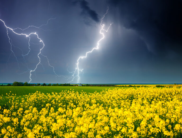
The Influence of Hollywood: “Twisters” and Storm Chasing
This summer marks the release of “Twisters,” a sequel to the iconic 1996 movie “Twister.” The original film captured the excitement and danger of storm chasing, glamorizing the pursuit of tornadoes amidst a backdrop of thrilling special effects. Hollywood’s portrayal of storm chasers has shaped public perception, showcasing their daring exploits in the face of extreme weather.
Technology: Advancements in Tornado Detection and Communication
Since 1996, meteorological technology has advanced significantly, revolutionizing tornado forecasting and warning systems. Social media platforms have emerged as crucial tools for disseminating real-time updates and alerts, keeping communities informed and prepared during severe weather events.
Forecasting: Evolution of NOAA’s Storm Prediction Center (SPC)
In 1996, the NOAA’s Storm Prediction Center (SPC) was based in Kansas City, gradually relocating to Norman, Oklahoma, to enhance collaboration with severe storm researchers. Forecasting capabilities have evolved from issuing outlooks for just the current and next day to detailed forecasts for today, tomorrow, and the day after (Day 3). Ensemble forecasting and convection-allowing models (CAMs) now provide more precise predictions, allowing forecasters to anticipate severe weather outbreaks up to a week in advance.
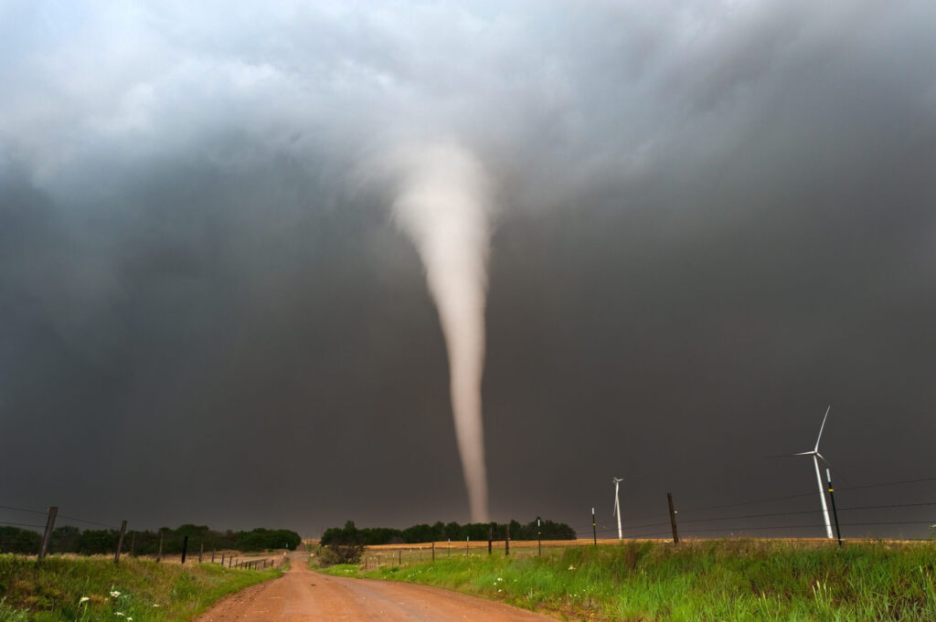
Radar: Enhanced Detection Capabilities
The deployment of National Weather Service Doppler radars was completed in 1997, a year after “Twister” debuted. Today, dual-polarization technology enables these radars to detect tornadic debris signatures, confirming tornado presence even at night and without visual confirmation. Advanced scanning strategies like “SAILS” allow radars to monitor severe thunderstorms more frequently and accurately, providing critical data for rapid decision-making.
Warnings: Precision in Alert Systems
In 1996, tornado and severe thunderstorm warnings were issued broadly by county, often covering areas unaffected by severe weather. Modern warning systems employ polygon-based alerts, targeting specific at-risk areas with greater precision, minimizing false alarms and ensuring timely evacuation and safety measures.
Damage Surveys: Enhancing Damage Assessment
Advancements in damage surveys have enhanced the ability to track and quantify storm damage accurately. Improved methodologies and technologies allow meteorologists and emergency responders to assess the impact of tornadoes swiftly and effectively, aiding in post-storm recovery efforts.
How to Stay Safe During a Tornado
Create a Safety Plan
Develop a tornado safety plan for your family or workplace, including designated shelter areas and emergency supplies such as water, non-perishable food, flashlights, and a first aid kit.
Stay Informed
Monitor weather alerts and updates from reliable sources like the National Weather Service (NWS) and local meteorological agencies. Use weather apps and social media for real-time information during tornado warnings.
Seek Shelter Immediately
When a tornado warning is issued, seek shelter in a sturdy building’s lowest level, away from windows and exterior walls. If in a mobile home or vehicle, evacuate to a designated storm shelter or sturdy building.
Practice Drill Exercises
Regularly conduct tornado drills to ensure everyone knows what to do during an emergency. Practice moving quickly to your designated shelter area and staying there until the all-clear is given.
Remain Calm and Alert
Stay calm and alert during severe weather events. Listen for updates and follow instructions from local authorities and emergency responders. Be prepared to take swift action to protect yourself and your loved ones.
As tornado forecasting and detection technologies continue to advance, staying vigilant and prepared is crucial for minimizing risk and ensuring safety during tornado season and severe weather events.